| Home |
| Download |
| Buy |
| How to use |
| FAQ |
| Contact us |
Google Satellite Maps Downloader 8.400 Released at Jun 4, 2024 |
||||||||||||||||||||||||||||||
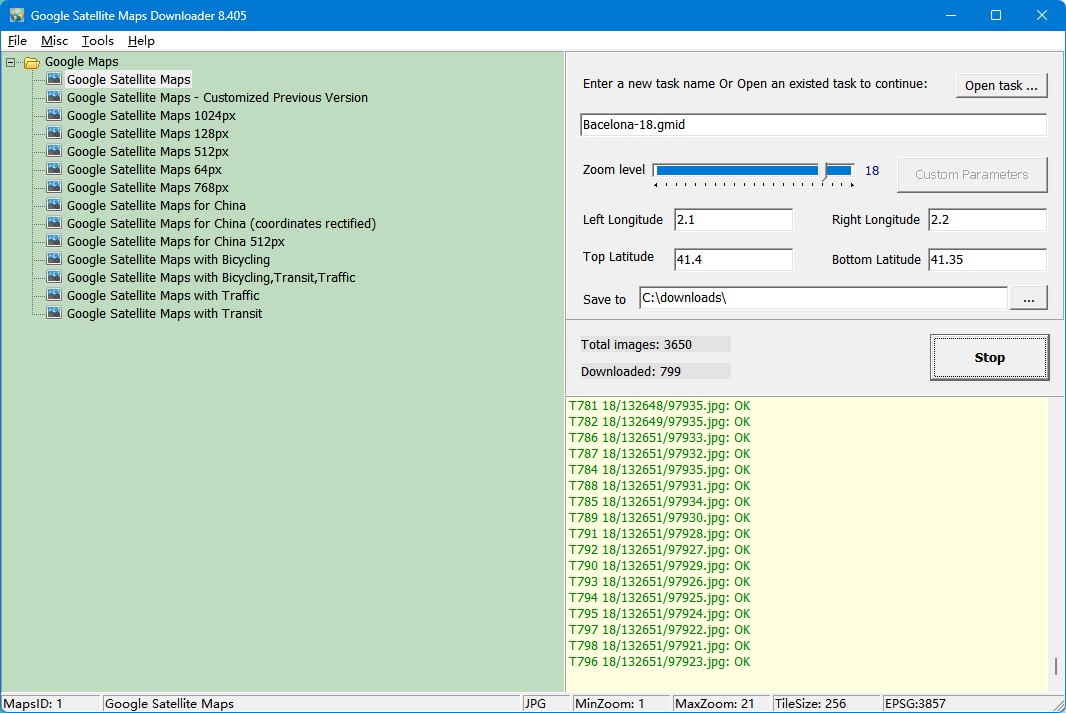
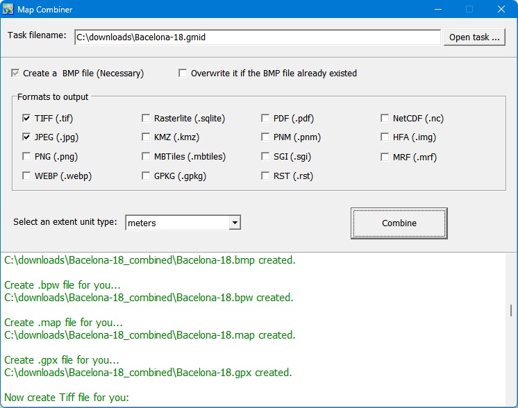
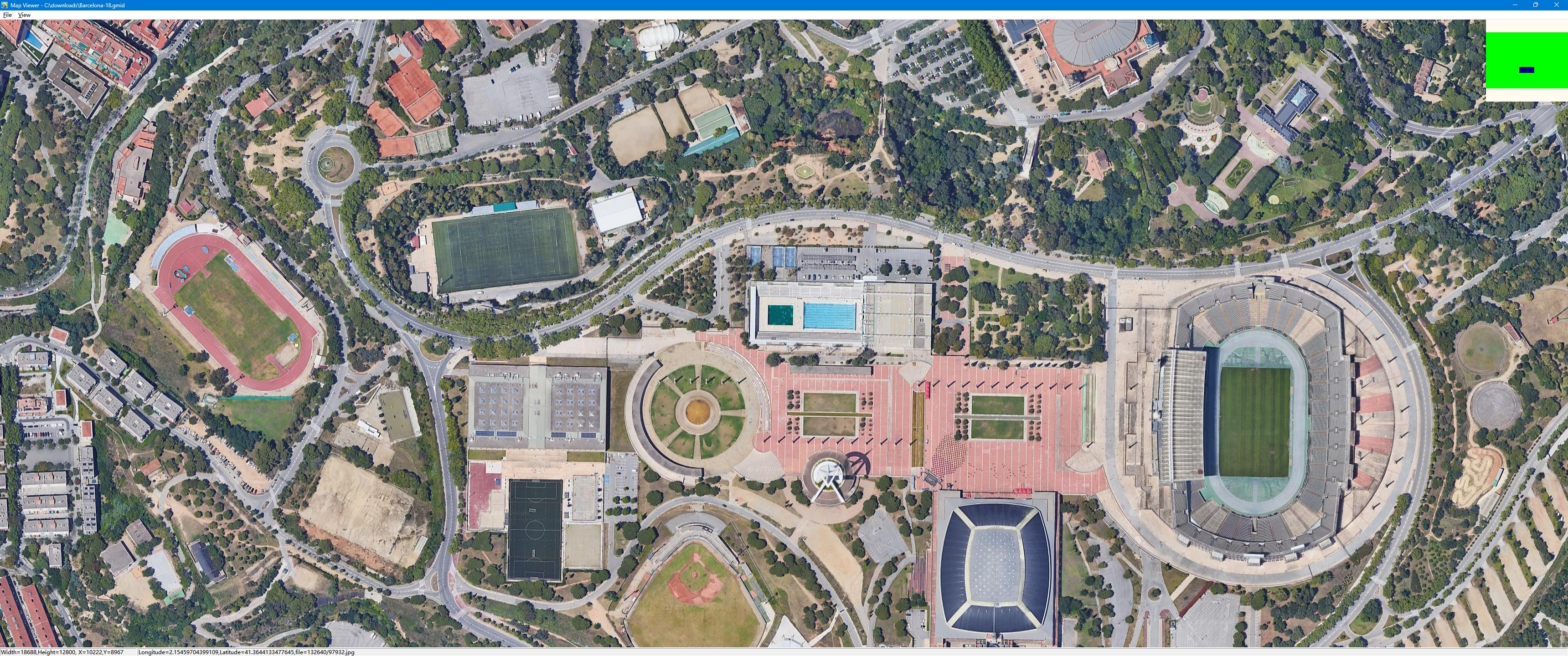
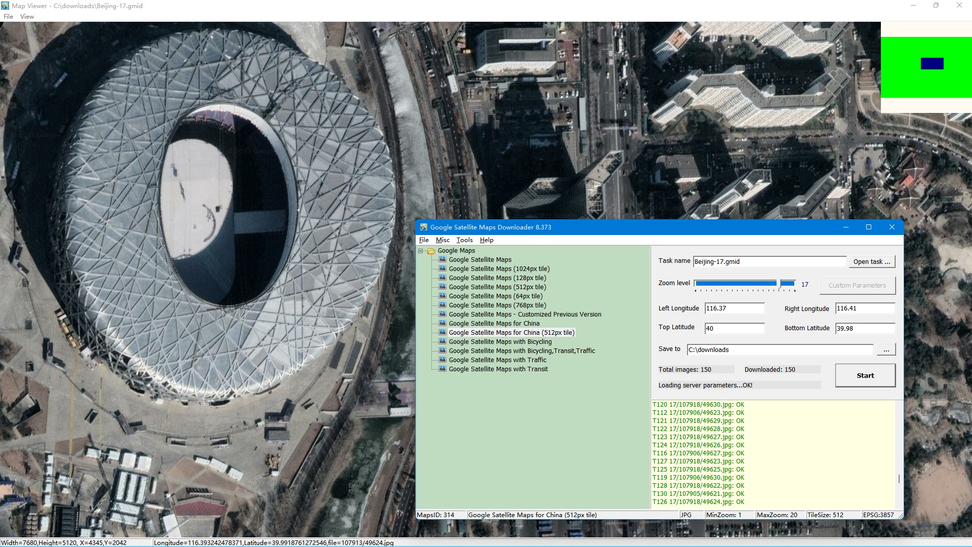
Google Satellite Maps Downloader is a cute tool that help you to get small tile satellite images from google maps. All downloaded small images are saved on the disk. You can view downloaded maps by Map Viewer Or you can combine them into a big bmp, jpg, tif, png, sgi, img, kmz, rst, pnm, pdf, mbtiles, gpkg map. Note: The downloaded images are only for your personal purpose, non-commercial use. It is very easy to use. Click here to see how to use it. It costs you only 39 USD!
|
||||||||||||||||||||||||||||||
Screenshot of combining images
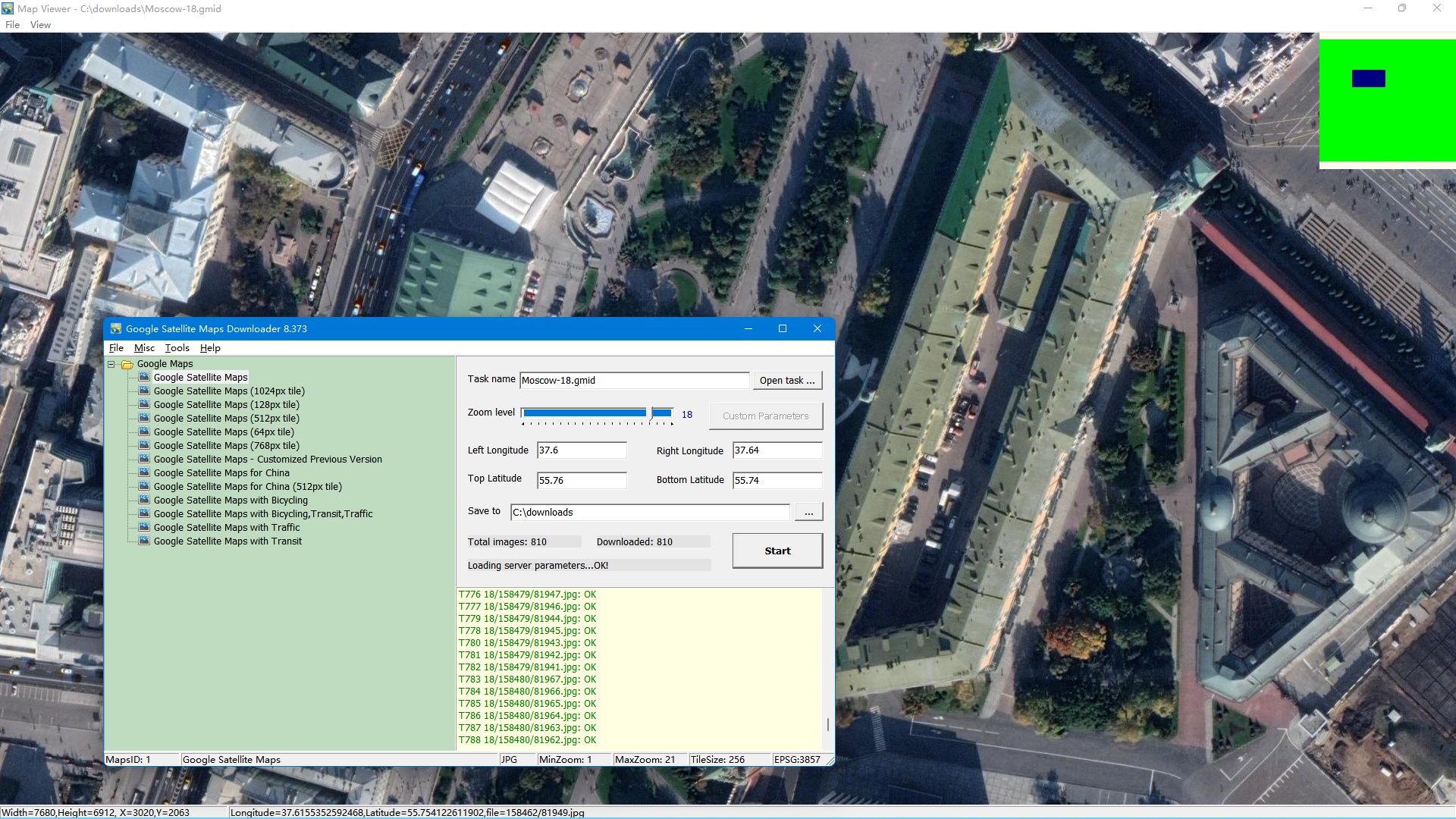
Screenshot of Satellite Map Viewer |
||||||||||||||||||||||||||||||
|
||||||||||||||||||||||||||||||
Support Email: gsmd@allmapsoft.com |
||||||||||||||||||||||||||||||