| 아니요. | 지도 유형 이름 | ID | 타일 정보 | 타일 샘플 | 작업 예제 |
|---|---|---|---|---|---|
| 1 | Carte-Geoportail Carte IGN | 28 | tile format: jpg zoom level:1-18 tile size: 256 |
 |
 |
| 2 | Carte-Geoportail GEOGRAPHICALGRIDSYSTEMS.COASTALMAPS | 2605 | tile format: png zoom level:6-16 tile size: 256 |
 |
 |
| 3 | Carte-Geoportail GEOGRAPHICALGRIDSYSTEMS.SLOPES.MOUNTAIN | 2603 | tile format: png zoom level:6-17 tile size: 256 |
 |
 |
| 4 | Carte-Geoportail GEOGRAPHICALGRIDSYSTEMS.SLOPES.PAC | 2604 | tile format: png zoom level:1-15 tile size: 256 |
 |
 |
| 5 | Carte-Geoportail HR.ORTHOIMAGERY.ORTHOPHOTOS | 2606 | tile format: jpg zoom level:6-19 tile size: 256 |
 |
 |
| 6 | Carte-Geoportail IGN classiques | 687 | tile format: jpg zoom level:6-18 tile size: 256 |
 |
 |
| 7 | Carte-Geoportail IGN Orthophoto | 2230 | tile format: png zoom level:1-18 tile size: 256 |
 |
 |
| 8 | Carte-Geoportail IGN Parcellaire Express | 2231 | tile format: png zoom level:1-18 tile size: 256 |
 |
 |
| 9 | Carte-Geoportail Limites administratives | 1041 | tile format: png zoom level:6-16 tile size: 256 |
 |
 |
| 10 | Carte-Geoportail OCSGE.VISU.2016 | 2607 | tile format: png zoom level:6-18 tile size: 256 |
 |
 |
| 11 | Carte-Geoportail OCSGE.VISU.2019 | 2608 | tile format: png zoom level:6-18 tile size: 256 |
 |
 |
| 12 | Carte-Geoportail ORTHO-EXPRESS-2020_PYR-JPG_WLD_WM_WMTS2 | 2609 | tile format: jpg zoom level:1-19 tile size: 256 |
 |
 |
| 13 | Carte-Geoportail ORTHOIMAGERY.EDUGEO.PARIS1949 | 2611 | tile format: png zoom level:6-18 tile size: 256 |
 |
 |
| 14 | Carte-Geoportail ORTHOIMAGERY.EDUGEO.PARIS1965 | 2610 | tile format: png zoom level:6-16 tile size: 256 |
 |
 |
| 15 | Carte-Geoportail ORTHOIMAGERY.EDUGEO.PARIS2010SPOT | 2612 | tile format: png zoom level:6-16 tile size: 256 |
 |
 |
| 16 | Carte-Geoportail ORTHOIMAGERY.ORTHO-SAT.PLEIADES.2013 | 2613 | tile format: png zoom level:6-18 tile size: 256 |
 |
 |
| 17 | Carte-Geoportail ORTHOIMAGERY.ORTHO-SAT.PLEIADES.2014 | 2614 | tile format: png zoom level:6-18 tile size: 256 |
 |
 |
| 18 | Carte-Geoportail ORTHOIMAGERY.ORTHO-SAT.PLEIADES.2015 | 2615 | tile format: png zoom level:6-18 tile size: 256 |
 |
 |
| 19 | Carte-Geoportail ORTHOIMAGERY.ORTHO-SAT.PLEIADES.2016 | 2616 | tile format: png zoom level:6-18 tile size: 256 |
 |
 |
| 20 | Carte-Geoportail ORTHOIMAGERY.ORTHO-SAT.PLEIADES.2017 | 2617 | tile format: png zoom level:6-18 tile size: 256 |
 |
 |
| 21 | Carte-Geoportail ORTHOIMAGERY.ORTHO-SAT.PLEIADES.2018 | 2618 | tile format: png zoom level:6-18 tile size: 256 |
 |
 |
| 22 | Carte-Geoportail ORTHOIMAGERY.ORTHO-SAT.PLEIADES.2019 | 2619 | tile format: png zoom level:6-18 tile size: 256 |
 |
 |
| 23 | Carte-Geoportail ORTHOIMAGERY.ORTHO-SAT.PLEIADES.2020 | 2620 | tile format: png zoom level:6-18 tile size: 256 |
 |
 |
| 24 | Carte-Geoportail ORTHOIMAGERY.ORTHO-SAT.PLEIADES.2021 | 2621 | tile format: png zoom level:6-18 tile size: 256 |
 |
 |
| 25 | Carte-Geoportail ORTHOIMAGERY.ORTHO-SAT.PLEIADES.2022 | 2622 | tile format: png zoom level:6-18 tile size: 256 |
 |
 |
| 26 | Carte-Geoportail ORTHOIMAGERY.ORTHO-SAT.RAPIDEYE.2010 | 2623 | tile format: jpg zoom level:6-15 tile size: 256 |
 |
 |
| 27 | Carte-Geoportail ORTHOIMAGERY.ORTHO-SAT.RAPIDEYE.2011 | 2624 | tile format: jpg zoom level:6-15 tile size: 256 |
 |
 |
| 28 | Carte-Geoportail ORTHOIMAGERY.ORTHO-SAT.SPOT.2013 | 2625 | tile format: jpg zoom level:6-17 tile size: 256 |
 |
 |
| 29 | Carte-Geoportail ORTHOIMAGERY.ORTHO-SAT.SPOT.2014 | 2626 | tile format: jpg zoom level:1-17 tile size: 256 |
 |
 |
| 30 | Carte-Geoportail ORTHOIMAGERY.ORTHO-SAT.SPOT.2015 | 2627 | tile format: jpg zoom level:1-17 tile size: 256 |
 |
 |
| 31 | Carte-Geoportail ORTHOIMAGERY.ORTHO-SAT.SPOT.2016 | 2628 | tile format: jpg zoom level:1-17 tile size: 256 |
 |
 |
| 32 | Carte-Geoportail ORTHOIMAGERY.ORTHO-SAT.SPOT.2017 | 2629 | tile format: jpg zoom level:1-17 tile size: 256 |
 |
 |
| 33 | Carte-Geoportail ORTHOIMAGERY.ORTHO-SAT.SPOT.2018 | 2630 | tile format: jpg zoom level:1-17 tile size: 256 |
 |
 |
| 34 | Carte-Geoportail ORTHOIMAGERY.ORTHO-SAT.SPOT.2019 | 2631 | tile format: jpg zoom level:1-17 tile size: 256 |
 |
 |
| 35 | Carte-Geoportail ORTHOIMAGERY.ORTHO-SAT.SPOT.2020 | 2632 | tile format: jpg zoom level:1-17 tile size: 256 |
 |
 |
| 36 | Carte-Geoportail ORTHOIMAGERY.ORTHO-SAT.SPOT.2021 | 2633 | tile format: jpg zoom level:1-17 tile size: 256 |
 |
 |
| 37 | Carte-Geoportail ORTHOIMAGERY.ORTHO-SAT.SPOT.2022 | 2634 | tile format: jpg zoom level:1-17 tile size: 256 |
 |
 |
| 38 | Carte-Geoportail ORTHOIMAGERY.ORTHO-SAT.SPOT.2023 | 2635 | tile format: jpg zoom level:1-17 tile size: 256 |
 |
 |
| 39 | Carte-Geoportail ORTHOIMAGERY.ORTHO-SAT.SPOT.2024 | 4536 | tile format: jpg zoom level:1-17 tile size: 256 |
 |
 |
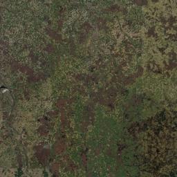
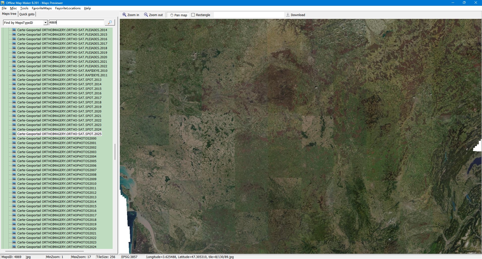
| 40 | Carte-Geoportail ORTHOIMAGERY.ORTHO-SAT.SPOT.2025 | 4869 | tile format: jpg zoom level:1-17 tile size: 256 |
 |
 |
| 41 | Carte-Geoportail ORTHOIMAGERY.ORTHOPHOTOS2000 | 2660 | tile format: jpg zoom level:6-18 tile size: 256 |
 |
 |
| 42 | Carte-Geoportail ORTHOIMAGERY.ORTHOPHOTOS2001 | 2659 | tile format: jpg zoom level:6-18 tile size: 256 |
 |
 |
| 43 | Carte-Geoportail ORTHOIMAGERY.ORTHOPHOTOS2002 | 2658 | tile format: jpg zoom level:6-18 tile size: 256 |
 |
 |
| 44 | Carte-Geoportail ORTHOIMAGERY.ORTHOPHOTOS2003 | 2657 | tile format: jpg zoom level:6-18 tile size: 256 |
 |
 |
| 45 | Carte-Geoportail ORTHOIMAGERY.ORTHOPHOTOS2004 | 2656 | tile format: jpg zoom level:6-18 tile size: 256 |
 |
 |
| 46 | Carte-Geoportail ORTHOIMAGERY.ORTHOPHOTOS2005 | 2655 | tile format: jpg zoom level:6-18 tile size: 256 |
 |
 |
| 47 | Carte-Geoportail ORTHOIMAGERY.ORTHOPHOTOS2006 | 2654 | tile format: jpg zoom level:6-18 tile size: 256 |
 |
 |
| 48 | Carte-Geoportail ORTHOIMAGERY.ORTHOPHOTOS2007 | 2653 | tile format: jpg zoom level:6-18 tile size: 256 |
 |
 |
| 49 | Carte-Geoportail ORTHOIMAGERY.ORTHOPHOTOS2008 | 2652 | tile format: jpg zoom level:6-18 tile size: 256 |
 |
 |
| 50 | Carte-Geoportail ORTHOIMAGERY.ORTHOPHOTOS2009 | 2651 | tile format: jpg zoom level:6-18 tile size: 256 |
 |
 |
| 51 | Carte-Geoportail ORTHOIMAGERY.ORTHOPHOTOS2010 | 2650 | tile format: jpg zoom level:6-18 tile size: 256 |
 |
 |
| 52 | Carte-Geoportail ORTHOIMAGERY.ORTHOPHOTOS2011 | 2649 | tile format: jpg zoom level:6-18 tile size: 256 |
 |
 |
| 53 | Carte-Geoportail ORTHOIMAGERY.ORTHOPHOTOS2012 | 2648 | tile format: jpg zoom level:6-18 tile size: 256 |
 |
 |
| 54 | Carte-Geoportail ORTHOIMAGERY.ORTHOPHOTOS2013 | 2640 | tile format: jpg zoom level:1-18 tile size: 256 |
 |
 |
| 55 | Carte-Geoportail ORTHOIMAGERY.ORTHOPHOTOS2014 | 2641 | tile format: jpg zoom level:1-18 tile size: 256 |
 |
 |
| 56 | Carte-Geoportail ORTHOIMAGERY.ORTHOPHOTOS2015 | 2642 | tile format: jpg zoom level:1-18 tile size: 256 |
 |
 |
| 57 | Carte-Geoportail ORTHOIMAGERY.ORTHOPHOTOS2016 | 2643 | tile format: jpg zoom level:1-18 tile size: 256 |
 |
 |
| 58 | Carte-Geoportail ORTHOIMAGERY.ORTHOPHOTOS2017 | 2644 | tile format: jpg zoom level:1-18 tile size: 256 |
 |
 |
| 59 | Carte-Geoportail ORTHOIMAGERY.ORTHOPHOTOS2018 | 2645 | tile format: jpg zoom level:1-18 tile size: 256 |
 |
 |
| 60 | Carte-Geoportail ORTHOIMAGERY.ORTHOPHOTOS2019 | 2646 | tile format: jpg zoom level:6-18 tile size: 256 |
 |
 |
| 61 | Carte-Geoportail ORTHOIMAGERY.ORTHOPHOTOS2020 | 2647 | tile format: jpg zoom level:6-19 tile size: 256 |
 |
 |
| 62 | Carte-Geoportail ORTHOIMAGERY.ORTHOPHOTOS2021 | 4537 | tile format: jpg zoom level:6-19 tile size: 256 |
 |
 |
| 63 | Carte-Geoportail ORTHOIMAGERY.ORTHOPHOTOS2022 | 4538 | tile format: jpg zoom level:6-19 tile size: 256 |
 |
 |
| 64 | Carte-Geoportail ORTHOIMAGERY.ORTHOPHOTOS2023 | 4539 | tile format: jpg zoom level:6-19 tile size: 256 |
 |
 |
| 65 | Carte-Geoportail ORTHOIMAGERY.ORTHOPHOTOS2024 | 4540 | tile format: jpg zoom level:6-19 tile size: 256 |
 |
 |
| 66 | Carte-Geoportail Parcelles cadastrales | 53 | tile format: png zoom level:1-20 tile size: 256 |
 |
 |
| 67 | Carte-Geoportail Photographies aeriennes | 14 | tile format: jpg zoom level:1-20 tile size: 256 |
 |
 |
| 68 | Carte-Geoportail Plan IGN V2 | 1040 | tile format: png zoom level:1-18 tile size: 256 |
 |
 |
| 69 | Carte-Geoportail Topo IGN | 57 | tile format: jpg zoom level:1-18 tile size: 256 |
 |
 |
| 70 | Carte-Geoportail Topographique IGN | 686 | tile format: jpg zoom level:6-16 tile size: 256 |
 |
 |
검색과 일치하는 지도 유형이 없습니다. 더 짧은 단어로 시도하거나 초기화하세요.
모든 AllMapSoft 도구는 수백 개의 지도 소스에서 다운로드합니다. 결정하기 전에 전체 색인을 둘러보거나 — 어떤 도구가 어떤 소스를 지원하는지 비교해 보세요.
모든 소프트웨어는 셰어웨어입니다: 모든 도구를 무료로 다운로드하여 사용해 볼 수 있습니다. 체험판에서는 고해상도 이미지를 다운로드할 수 없으며 다운로드 가능한 최대 줌 레벨은 13입니다.
www.allmapsoft.com에서만 구매하시기 바랍니다. 저희는 유통업체나 리셀러가 없습니다. 유일한 결제 파트너는 SendOwl과 FastSpring이며 — 결제를 처리하고 라이선스를 전달할 뿐 리셀러가 아닙니다. 다른 웹사이트에서 구매한 라이선스는 정품이 아니며 지원되지 않고 비활성화될 수 있습니다. 승인되지 않은 구매로 인한 손실에 대해 저희는 책임을 지지 않습니다.